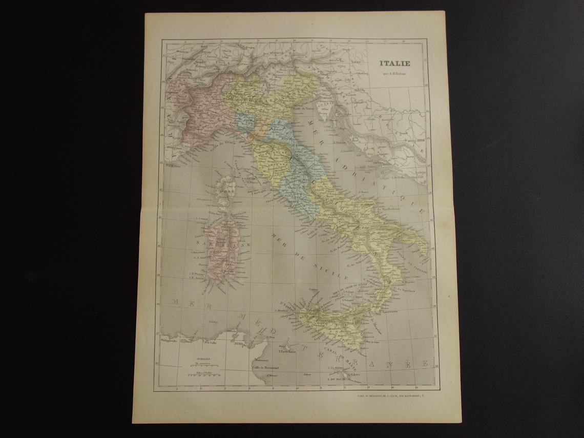
1858 Italy (French version)
$175.00 – $325.00 (incl. GST)
Free Shipping
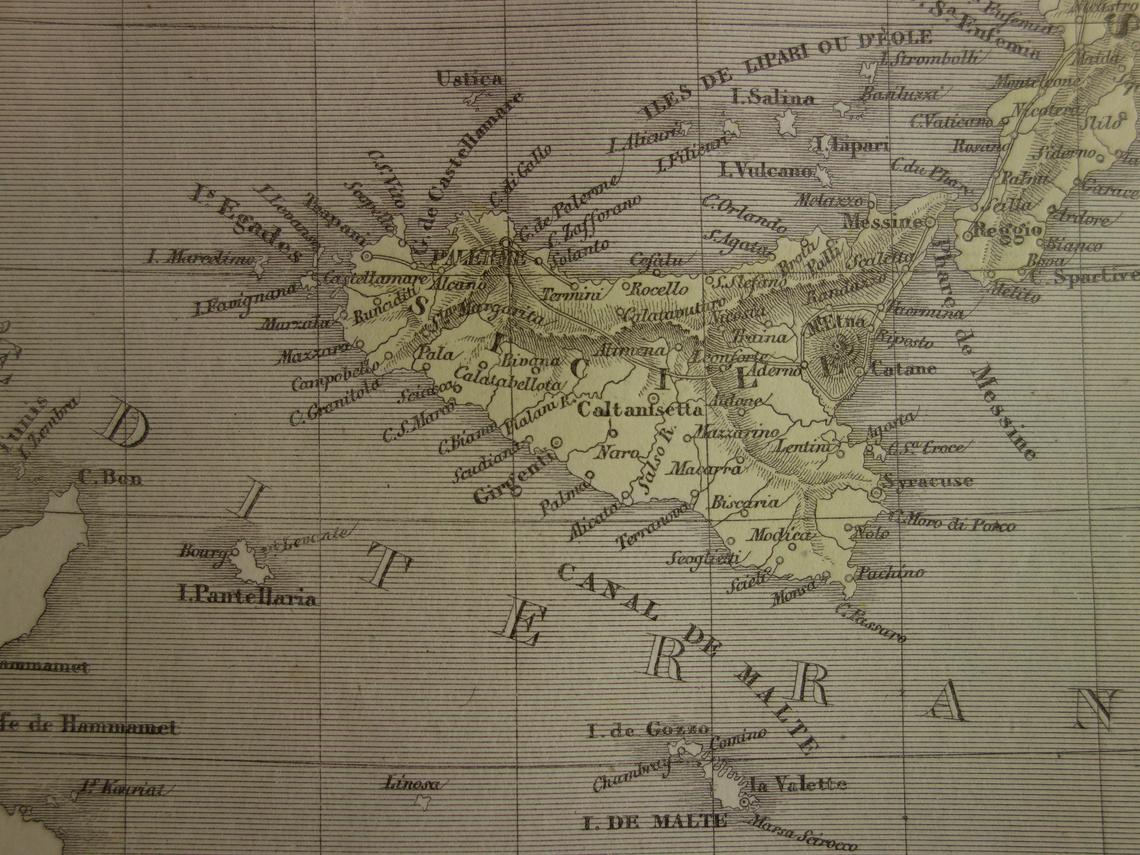
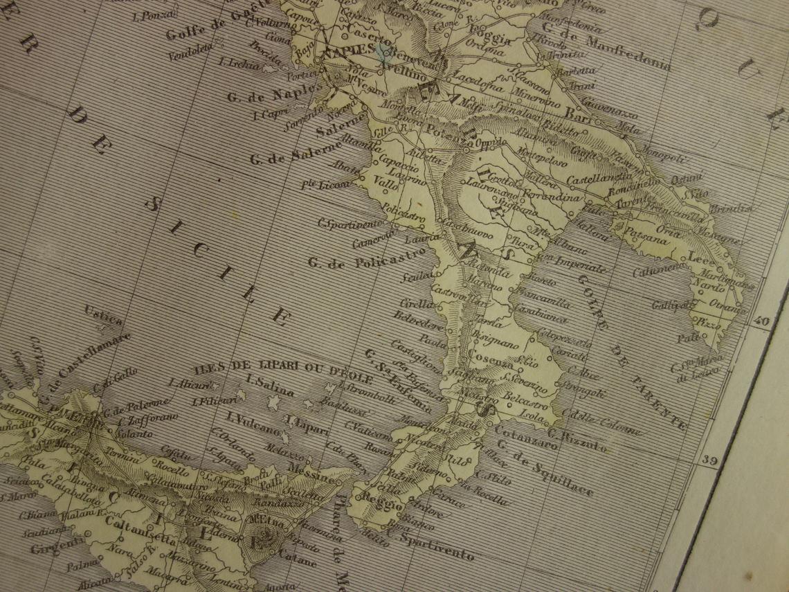
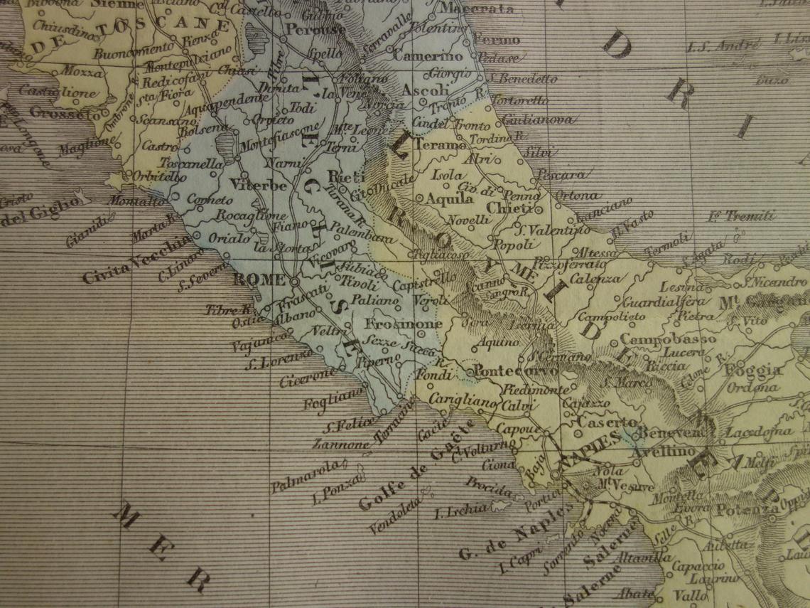
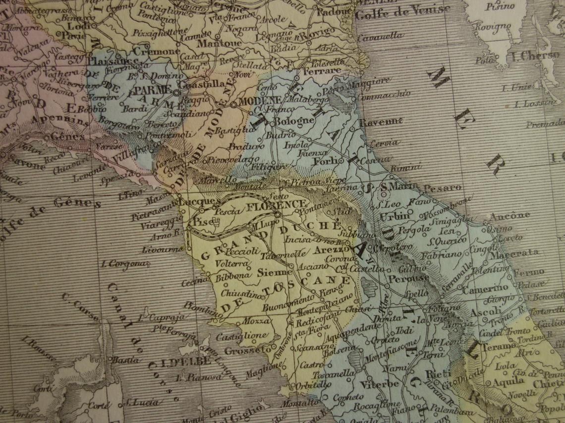
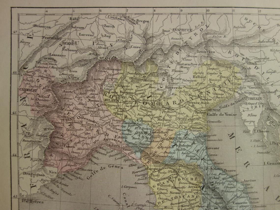
Detailed antique map of Italy in the year 1858 with charming colours which would have been coloured by hand. This map comes from the French ‘Geographie Universelle’ atlas by the French cartographer A H Dufour (all place names are in French).
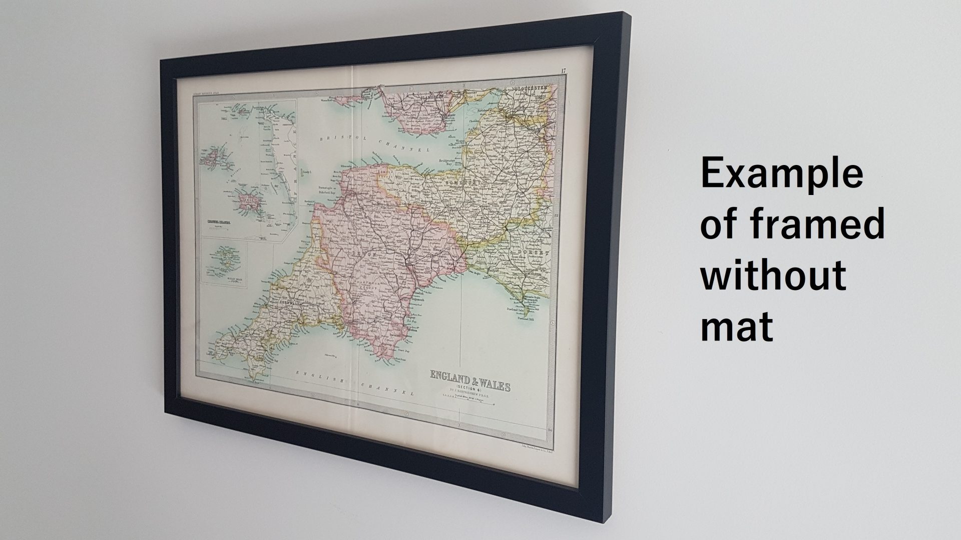
This vintage map is offered in the following formats (refer to photos for examples of each format):
Format 1: Unframed
Format 2: Framed without mat
Format 3: Framed with mat
Please note all maps are framed to order. Please allow at least 15 working days for delivery.
| Dimensions | N/A |
|---|---|
| Era | 1800s |
| Country of Origin | |
| Condition | Excellent, creases, foxing spots, general wear & tear consistent with age, watermarks |
| Material | Paper |
Share

