1849 London England (German version)
Free Shipping
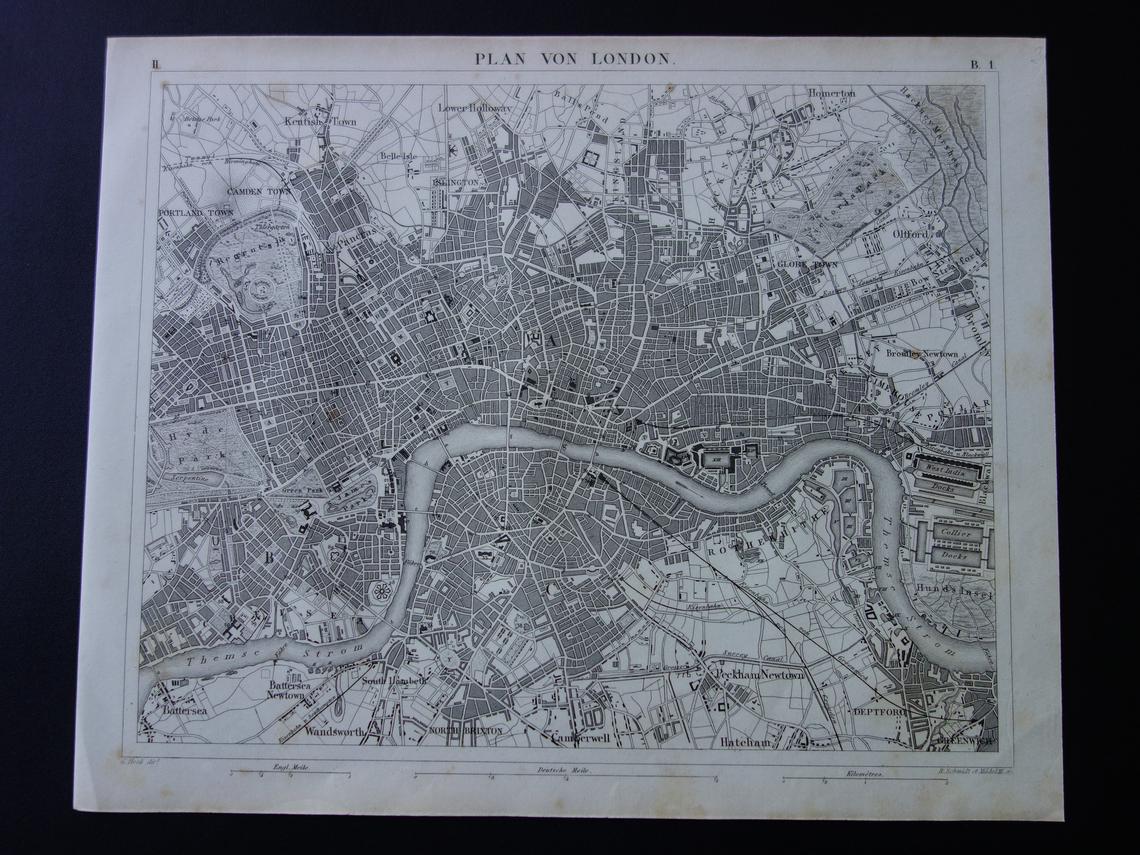
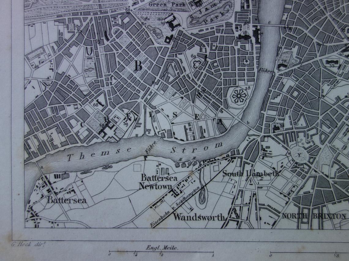
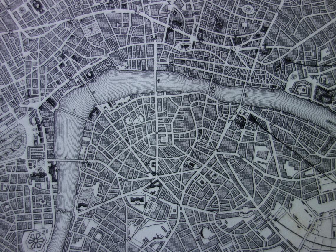
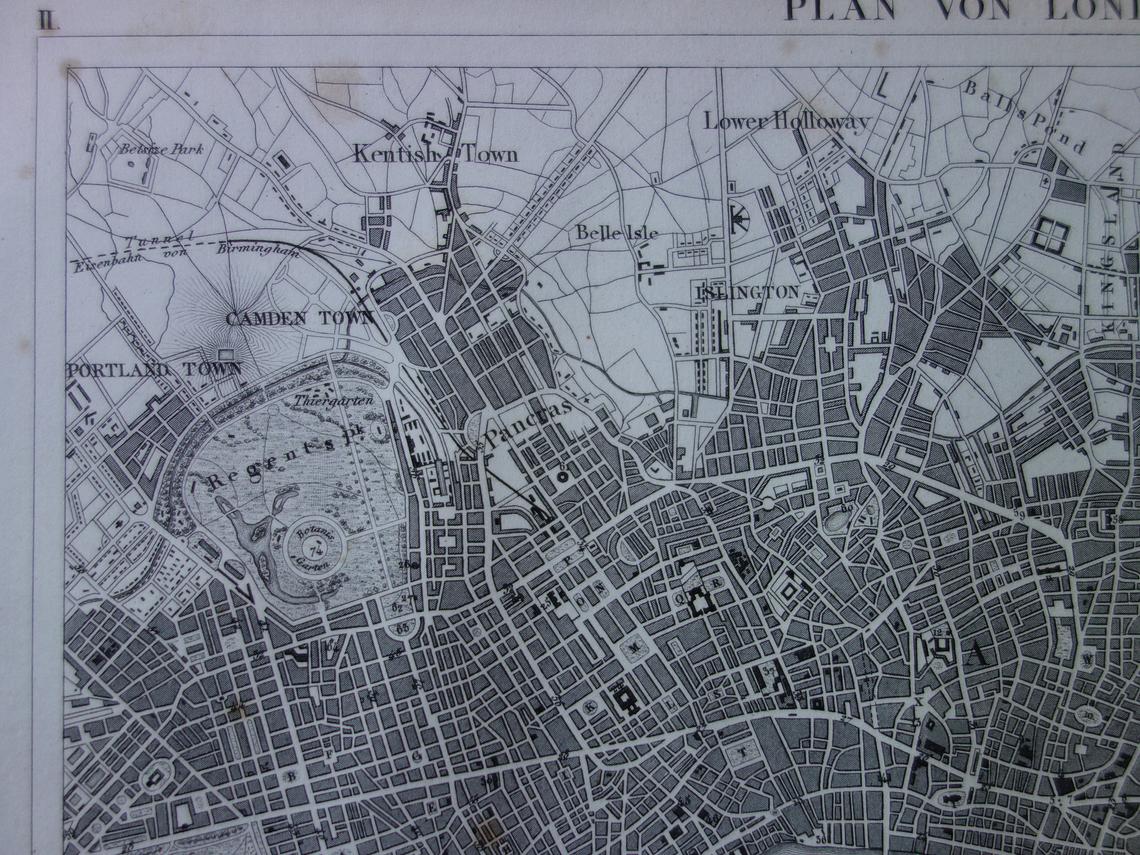
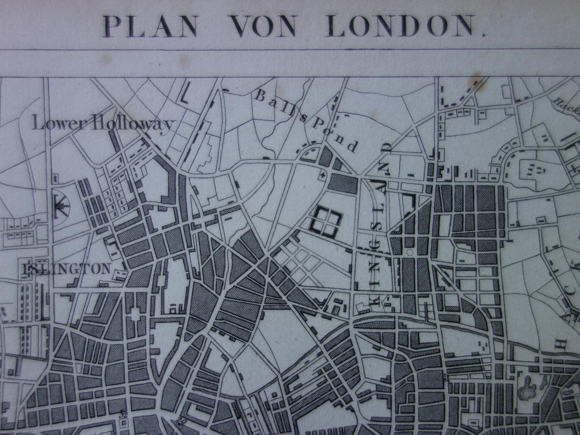
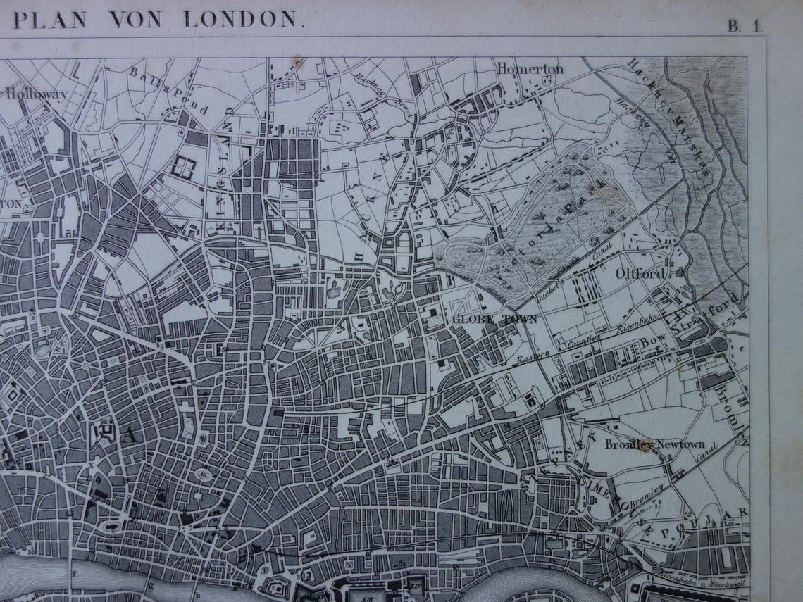
Black and white antique map of London, England in the year 1849, instantly recongnisable by the snaking Thames River. This map includes intricate detail of Hyde, Green, James and Regents Parks to the west and Victoria Park to the East. Outer suburbs (as they were then) of Battersea, Wandsworth, Peckham Newtown, Camden Town, Kentish Town and Greenwich are also identified.
The map was published in 1849 in Leipzig (Germany) by the Brockhaus company in “Bilder-Atlas zum Conversations-Lexikon”. Although this map is German all place names are in English except for the Thames River which is noted as “Themse Storm” which makes this map a real discussion piece.
It is a true 170+ years old antique map.
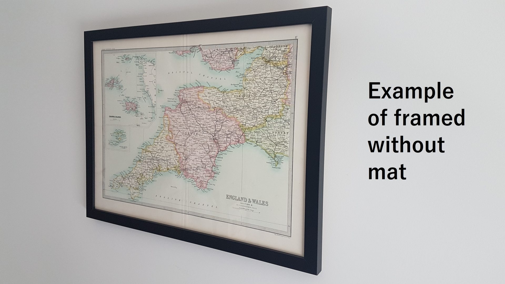
This vintage map is offered in the following formats (refer to photos for examples of each format):
Format 1: Unframed
Format 2: Framed without mat
Format 3: Framed with mat
Please note all maps are framed to order. Please allow at least 15 working days for delivery.
| Dimensions | N/A |
|---|---|
| Era | 1800s |
| Country of Origin | |
| Condition | Excellent, creases, foxing spots, general wear & tear consistent with age, watermarks |
| Material | Paper |

